ANYSite

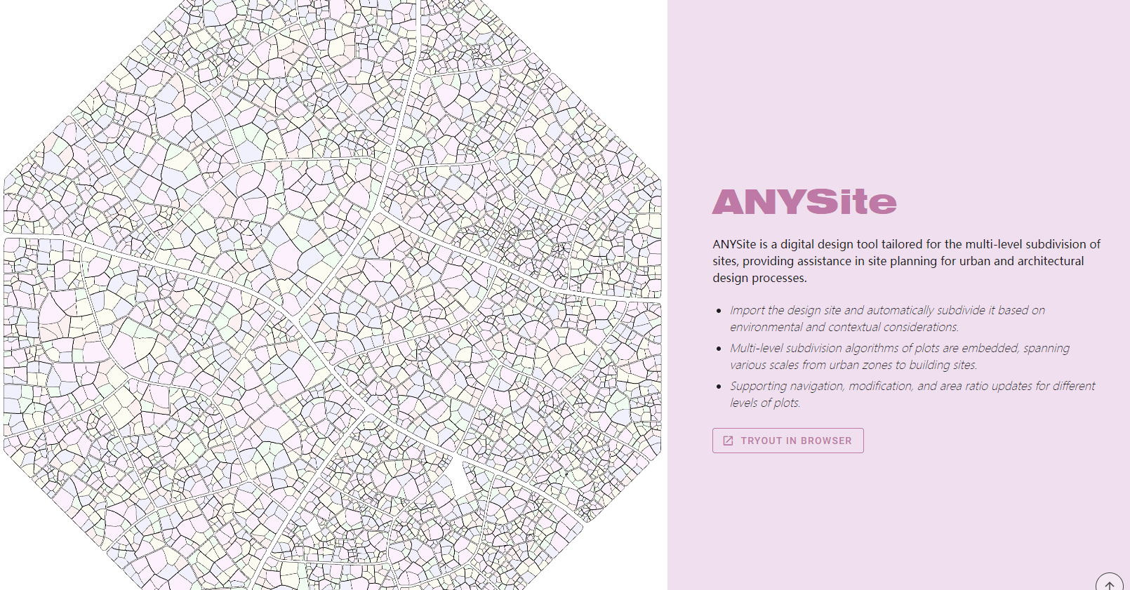
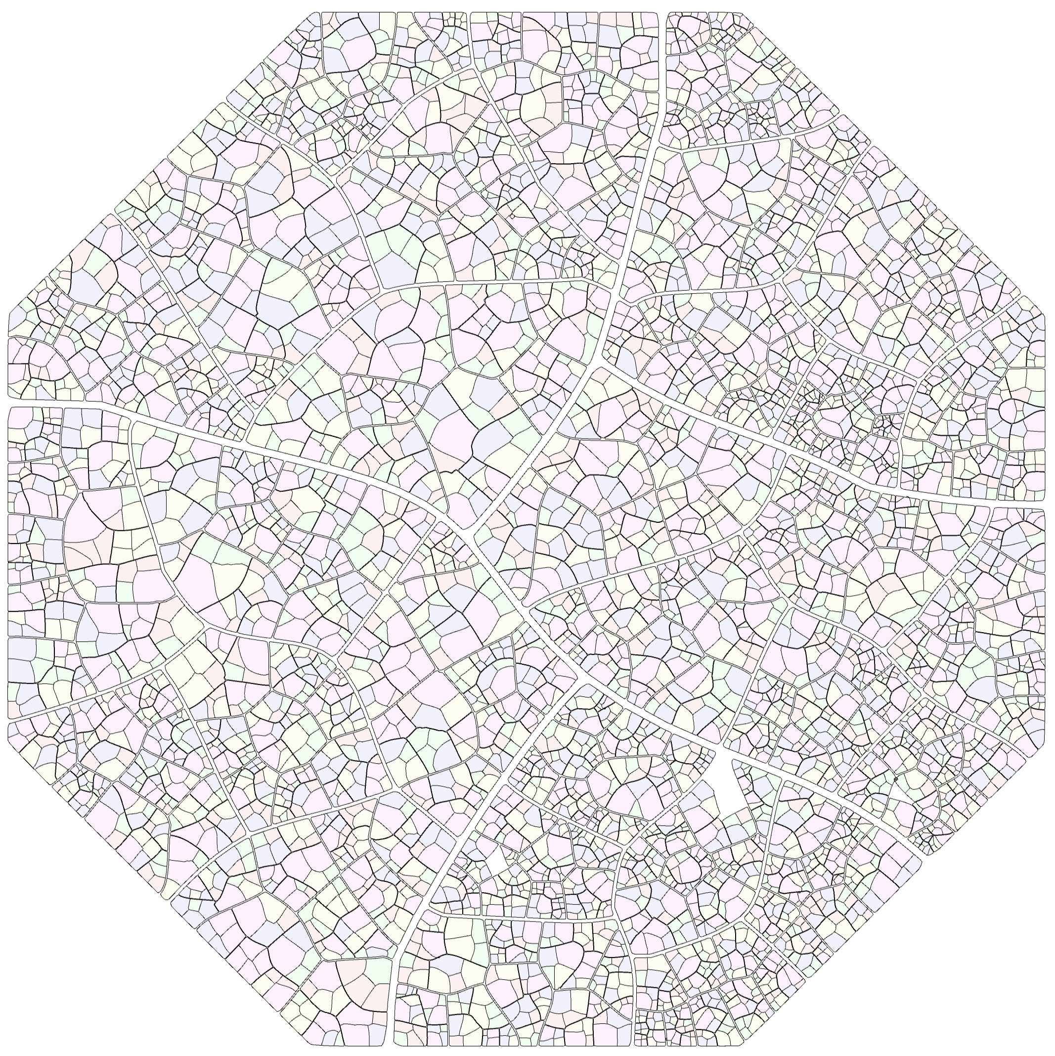
ANYSite是一个面向多层级基地划分的数字设计工具,为城市与建筑设计过程中的场地规划提供辅助。
- 导入设计场地,根据环境与肌理完成场地的自动划分
- 可实现多层级的地块细分,覆盖从城市片区到建筑基地的多种尺度
- 支持不同层级基地的微调与比例更新
ANYSite is a digital design tool tailored for the multi-level subdivision of sites, providing assistance in site planning for urban and architectural design processes.
- Import the design site and automatically subdivide it based on environmental and contextual considerations.
- Multi-level subdivision algorithms of plots are embedded, spanning various scales from urban zones to building sites.
- Supporting navigation, modification, and area ratio updates for different levels of plots.

